 |
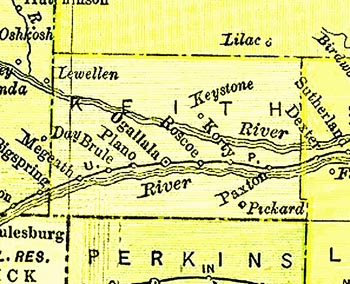
This map has been generously scanned and provided by Pam Riestch. View other images from the1895 Atlas |
|
|
 |
|
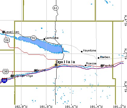
USGS Mapping Query |
 |
|
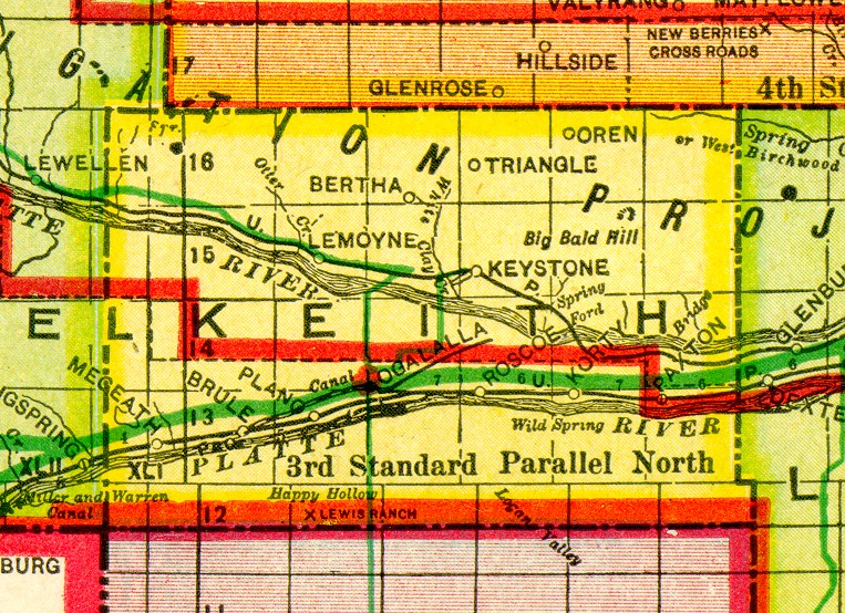
This map has been generously scanned and provided by Pam Riestch. View other images from the1895 Atlas |
|
|
|
|
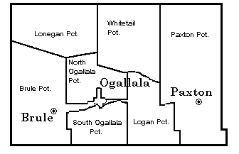
USGS Mapping Query |
|